Wednesday, March 23, 2016. It's a cool morning, 51 degrees but feels more like 40, day has broken and it's time to ride. So at 7:40 a.m. I pushed Little Hoss out of the garage for a day of frolicking in the mountains. Met up with biker friend Paul at the Exxon Station and away we went. Stopped off in Sevierville on US 411 at Food City Deli for breakfast. All sated, now it's time to ride. So we hopped on our trusty steeds and headed out to make a turn onto Jones Cove Rd. on our way to the Foothills Parkway, a bit of I-40 before turning off for the climb to the top of the mountain. We were going to Cataloochee Valley in NC but from the TN side of the mountain.
The blue line is our route for the day and where the red dot is, just grab a memory pencil and do a squiggly line all the way back to the beginning on the left side. As mentioned earlier, about 30 miles of that is gravel, in the mountains and some are state highways without center lines, barricades nor gas stations.

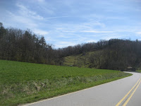
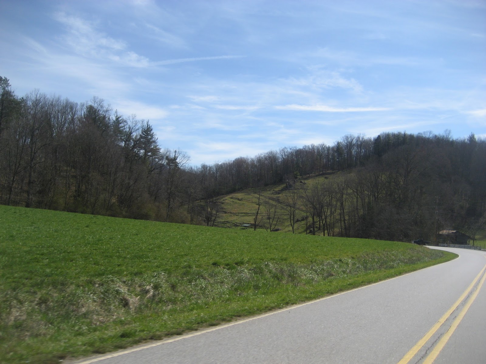
Just out of the subdivision the sun was well on it's way to a beautiful day. The air was nice and crisp.
Shane, this one is for you. Seven Islands School House, bathed in morning sunlight.

After breakfast we hit Jones Cove Rd. which goes East out of Sevierville. At this time of the day the traffic was very light. After a bit we hit the Foothills Parkway at Cosby, TN.
Early morning look at the Smoky Mtns. They act just like a magnet. Just keeps pulling you in.

Bathed in bright sunlight they still look majestic. Lots of time in those old hills. Lots of memories of years gone by also. And yet, they still stand mighty.

We came off the Foothills and hit I-40 East toward Ashville, NC. Great run through the mountains and well decorated with Redbud trees.
We made a right turn off the interstate and now we're heading toward the top of the mountains for the Valley.
Almost dry riverbed shows the diminished amount of water that is being let out of the hydro owned and operated by Duke Energy.

We finally ran out of paved road and now will run several miles of gravel. Fairly good road surface, a bit dusty so I lag behind to stay out of some of the dust.
I'm not intimidated by the sign but the blind drivers do bother me a bit. And some of them don't know to slow down when they meet another vehicle.
Up up up you go winding around the mountain all the time being really watchful for large rocks sticking up out of the dirt in front of you, loose gravel spots and some chuck holes.
When you finally crest one mountain then what goes up generally goes down. And believe me, it's more difficult to go down than to go up on crushed rock. Notice the lack of barriers to keep you from dropping several hundred feet to the bottom. Unless, of course, you manage to have a tree stop you at some point while on the way down. I tell Paul that if he runs off I'll just mark the site and tell his wife where he left me. I know, sick joke.
We made a stop here to remove some clothing as it was getting warm. There is a sign on the front saying "Horse Stuff". All I saw was a donkey in the field behind the structure.
Back on the gravel and doing a bit more climbing.
Then we came to the first of two such bridges. I let Paul go first to test it.

A nice flowing stream beneath the bridge. A few more miles and we needed to make a right turn. Two more miles and we would be at Cataloochee Valley.

The second bridge crossing the same stream just at a different point.
The Palmer House is at the head of the Valley and was constructed in 1903. It was a log house and the siding was put on years later. It contains a lot of pictures and writings about its history. At this time it was locked.
Little Hoss parked in the parking area near the front of the Palmer House.

Paul reading up on what's on the bulletin board and then riding on into the Cataloochee Valley.
An Elk cow was standing fairly close to the road so my small telephoto got me a better look at her. Sign in entrance says to stay 150 ft. away from them. Just up ahead on the left side of the road a big Bull Elk stood but before we could get close he took off for the woods, crossing the road well in front of us.

You can't see them as they are dark and in the shadows of the trees, but there's about a dozen Elk standing and laying around.
A good look at the mountains on one side of the valley.

Took a close-up of these two turkeys gracefully walking across the grassy area.
Same two turkeys but enhanced by a split rail fence.
This was the church they were walking behind. I was told that at one time the road ran in front of the church.
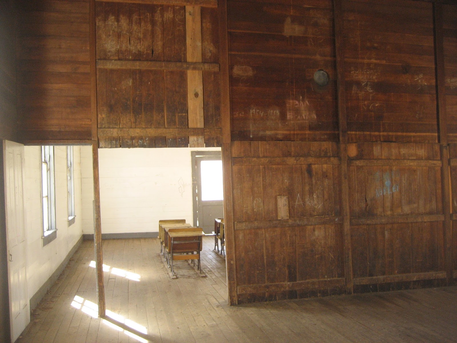
Beechgrove School. And no school buses to ride.
The class room. Compared to today's schools, this was extremely plain.
The room behind the room with the desks. Don't know exactly what this was used for. Nothing fancy for sure.
Back on the gravel and on
our way out of the Valley and onward to Max Patch.

Now we can build up some speed to blow the dust off. Running along the river was nice and scenic as well as some of the farm fixtures along the way. Turn just before you get to the red barn.

There's a lot of pretty farm land in this area and some nice old farm houses. We're still in NC at this time.
North Carolina Christmas Tree country. These look as if they were left several years ago, maybe waiting for someone that wants a 20 ft. tree.

We turned yet again heading this time for Max Patch, a bald knob which is just a bare round top mountain. A lot of people go there because of the scenic view from the top.
This will be the longest gravel run of the day. And yes, that white stuff is snow. Several places where the last snow a few days ago still remains. But with the warming temperatures it won't be here much longer.

Past Max Patch we ran across a group of horse riders doing some trails up in the mountains. With them was one fellow's Blue Heeler, a real friendly pup.
Around a turn you get another grand look at the mountains of the area.
I stopped to take this picture. Give you 2 tries to guess why I stopped to take the picture. What does it look like to you?

Heading down and back to civilization but first a look at an old house that has seen a lot of damp cool days as indicated by the moss on the roof.
The road below is where we're going, we just have to safely get there.

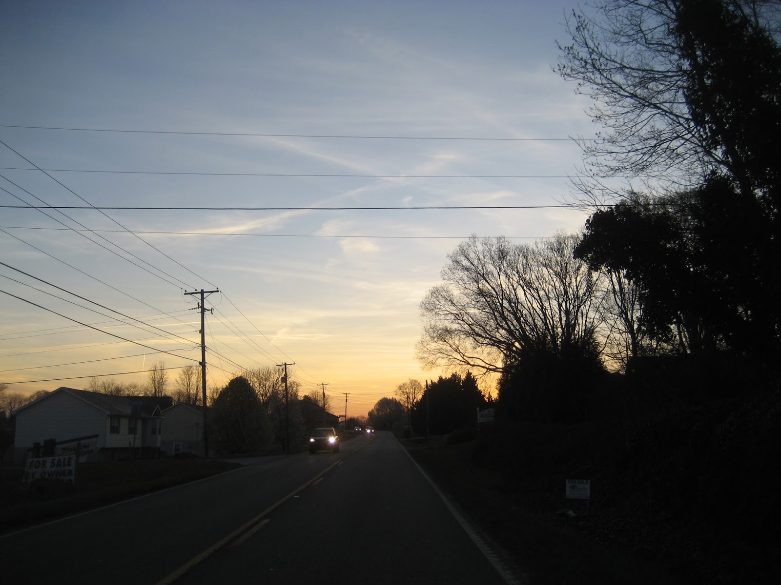
Back on the highway to Newport, TN we run through a small valley with some nice farms and has some beautiful trees, in this case a Redbud in front of a Bradford Pear.
Heading back to the house after a stretch and snack break. My second cup of coffee for the day. I was going into withdrawals. Temp was hovering around 70 degrees and we were winding up a great day of riding. Todays ride was 180 door to door taking 9 hours counting breakfast, rest stops, sightseeing, snacks and a stop by my favorite motorcycle shop to order a new seat for Little Hoss. Thirty miles of this was mountain rock.
As i close with this adventure ride, I know most of these stories are alike, winding paved or gravel roads, mountain scenery, farms and buildings and every once in a while a bit of history thrown in. So please treat them like a travel brochure. Read it and then toss it. I know some of you have never been to this area and some my never visit it. I enjoy showing what God place here and some of the things that makes it what it is, a beautiful state with lots of natural stuff to see.
So until the next Valkyrie Adventure episode, I pray for everyone, especially our country and those that are being inflicted with danger and harshness. I hope you and yours have a wonderful Easter Day. We are here because.........

 Just out of the subdivision the sun was well on it's way to a beautiful day. The air was nice and crisp.

 After breakfast we hit Jones Cove Rd. which goes East out of Sevierville. At this time of the day the traffic was very light. After a bit we hit the Foothills Parkway at Cosby, TN.
 Bathed in bright sunlight they still look majestic. Lots of time in those old hills. Lots of memories of years gone by also. And yet, they still stand mighty.
 We came off the Foothills and hit I-40 East toward Ashville, NC. Great run through the mountains and well decorated with Redbud trees.


 We finally ran out of paved road and now will run several miles of gravel. Fairly good road surface, a bit dusty so I lag behind to stay out of some of the dust.


 A nice flowing stream beneath the bridge. A few more miles and we needed to make a right turn. Two more miles and we would be at Cataloochee Valley.
 The second bridge crossing the same stream just at a different point.


 Paul reading up on what's on the bulletin board and then riding on into the Cataloochee Valley.
 You can't see them as they are dark and in the shadows of the trees, but there's about a dozen Elk standing and laying around.
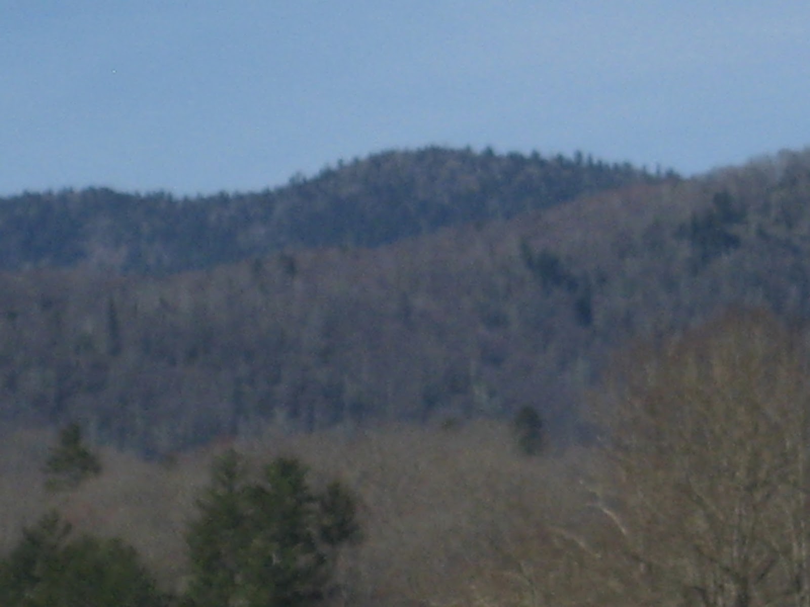

 Took a close-up of these two turkeys gracefully walking across the grassy area.


 Back on the gravel and on
 Now we can build up some speed to blow the dust off. Running along the river was nice and scenic as well as some of the farm fixtures along the way. Turn just before you get to the red barn.
 There's a lot of pretty farm land in this area and some nice old farm houses. We're still in NC at this time.

 We turned yet again heading this time for Max Patch, a bald knob which is just a bare round top mountain. A lot of people go there because of the scenic view from the top.

 Past Max Patch we ran across a group of horse riders doing some trails up in the mountains. With them was one fellow's Blue Heeler, a real friendly pup.


 Heading down and back to civilization but first a look at an old house that has seen a lot of damp cool days as indicated by the moss on the roof.

 Back on the highway to Newport, TN we run through a small valley with some nice farms and has some beautiful trees, in this case a Redbud in front of a Bradford Pear.

Good write up....you and Paul can have my portion of the gravel though. Too many paved roads around that I haven't yet been on - and my bikes stay cleaner that way!
ReplyDelete