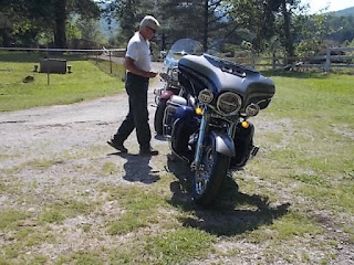
Today's ride will be with biker friend Terry who lives in Lenoir City, TN, about an hours ride south of me. I'll meet him at the Hardee's in Lenoir City by 9:00 a.m. and then start the ride. I'll top off my tank there as we're going to go to Chattanooga, TN and a bit farther west to locate a marker that indicates the corners of AL, GA and TN. A dear friend, Alma Reed of Eunice, LA put me on to this and I mentioned it to Terry who then planned the route down and back. We will run Interstate down to TN 156 off of I-24 a few miles west of Chattanooga.
I pushed Sweet Thang out of the garage and pulled out at 7:25 a.m. I wanted to get there early so I could top off my gas tank, grab a breakfast biscuit and some coffee before Terry arrived. Almost made it. Got gassed up, ordered breakfast and had coffee coup in hand when he walked in. So I ate and then we left. I rode from Seymour down to Maryville on US411 and then caught US321 West to Lenoir City.
 Traffic was rather light. Chattanooga is a guess when traveling through it as for as traffic is concerned. Today we flowed like milk from a jug.
  Here we are just entering Chattanooga from the NE side.
  The TN River on the southwest side of Chattanooga. I love this area where the river makes a bend from the city going south.
  The water is as smooth as a mirror this morning.
 The rockfaced cliffs look like face sculptures with the green growth around them. Maybe this was once some tribal sculptures. Nice scenery anyway.
 On this drive you go from TN to GA and back to TN in a short stretch. We are leaving GA and returning back to TN.
 We turned off I-24 onto TN 156 heading to the tri-state marker, the objective of today's ride. Well, one of the objectives. The other was to just ride. 156 was a nice ride with some sweeper curves and some tight ones too as we crossed a tall hill or short mountain.
 Terry leans his HD into the curves with much delight. Very little to no traffic made it even better.
 Then out of no where the road flattens out and we're running parallel to a railroad and on the other side of the RR was the TN River.
 Then we arrived at the Macedonia Church, one of the reference points where we would be turning.
Three beautiful horses were out eating grass along side the highway so we stopped. This area has some high dollar houses and these horses appeared to be well fed.
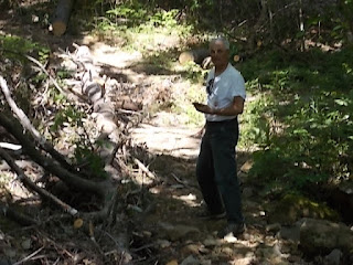
I stayed back trying to take a picture of Terry playing cowboy, herding horses. They apparently disliked the sound of his HD as they bounded off toward the river.
But, alas, we have a problem. There's three trails, no signs, so which trail takes us to the marker. Aha, as Terry whips out his trusty phone, calls up the maps and then he wanders around until the map showed him which direction he should be walking in.
Now the video we watched made it look like the trail was rather level. Wrong, it is a slight climb, well, maybe just a tad more than slight. The problem was not necessarily the elevation but the stones we had to walk on without twisting an ankle or breaking a leg. Oooh, let's not say anything about broken legs, been there done that.
The rocky path to the marker.
Here Terry is trying to get a good picture of the marker without his shadow.
Whoops, there it is. A concrete post about a foot or so out of the ground with a brass inset showing the corner of AL and GA and them meeting the southern boundary of TN. I was a little surprised that it did not contain the longitude, latitude, and elevation. So right here at this exact point is an official marker "as seen on TV" of how the states got their shapes.
I suggest if it is raining, don't go there. Or, if it has been raining hard but is not raining now, don't go there. If you do, wear boots. A lot of water pours down this hill.
An old and dead cedar tree by the marker had a black cross nailed to it. I wonder why? The question may never be answered.
After walking back down the trail to the bikes, drinking some water and deciding to leave off a piece of clothing, we begin to move on our way back toward Chattanooga to have some BBQ at Sticky Fingers, a restaurant located in a shopping mall on the NE side of Chattanooga.
Looking toward GA from the parking area of the marker.
 Terry routed us back up 156 and then we crossed over or under I-24 onto a highway that ran along the side of the TN River. Very scenic, nice curves and some good rolling hills.
 A bit of the Tennessee River.
 Continuing on toward Sticky Fingers. Nice easy riding.
 We made our lunch stop at Sticky Fingers and after a nice meal we headed toward Cleveland, TN to ride US64 along the Ocoe River area to the junction of US411 which we would take north. I did not take any pictures of this area as it was a nice wide 4-lane highway with rolling hills. Terry would turn off before Maryville and I would continue on US411 to Seymour and to the house.
It was a most enjoyable ride. Nice relaxing roads, good weather, some learned history and enjoyable friend. I arrived at the house a little after 4 p.m. Total mileage door to door was 304 miles. Another great adventure and a great day.
So, until the next Valkyrie Adventure or historical ride, stay safe, stay focused and keep on smiling. It's less stressful being that way.


No comments:
Post a Comment