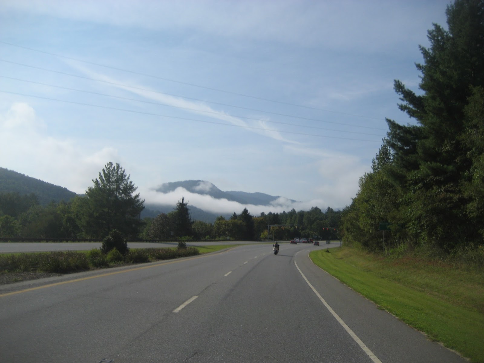
Wednesday, Sept. 2, 2015, 67 degrees at 7:00 a.m., no rain forcasted, high to be 92. A good day to ride. Pushed Sweet Thang out of the garage at 7:00 a.m. and fired her up. Had rain liner on beneath mesh riding jacket along with light winter gloves. Meeting biker friend Paul at Exxon and then we would ride over to Sevierville McD's to meet up with two other riders, Alvin and Bob. Never met Bob before today, nice guy, rides a Spyder. Alvin a HD guy. Paul on his White Rat scooter and me. What a group.
Another gorgeous morning. I just love those early morning colors especially when there's a bit of mist hanging in the air.
At 7:22 Old Sol cleared the tree tops and let it be known that today was going to be hot hot hot.
We stopped in Sevierville and picked up the other two riders. I was trying to turn my GoPro on but punched the wrong button and upset the apple cart. I didn't want to take the time to fiddle with it and delay every one so I shut it down and hit the road. Riding is better anyway. This picture to the right is leaving Pigeon Forge heading toward Gatlinburg. Big metal sphere is a new attraction but no name yet.
Then we hit the Spur, that's the piece of US411 that goes between Pigeon Forge and Gatlinburg but crosses the corner of the Great Smoky Mtn. Nat. Park. Love this strip.
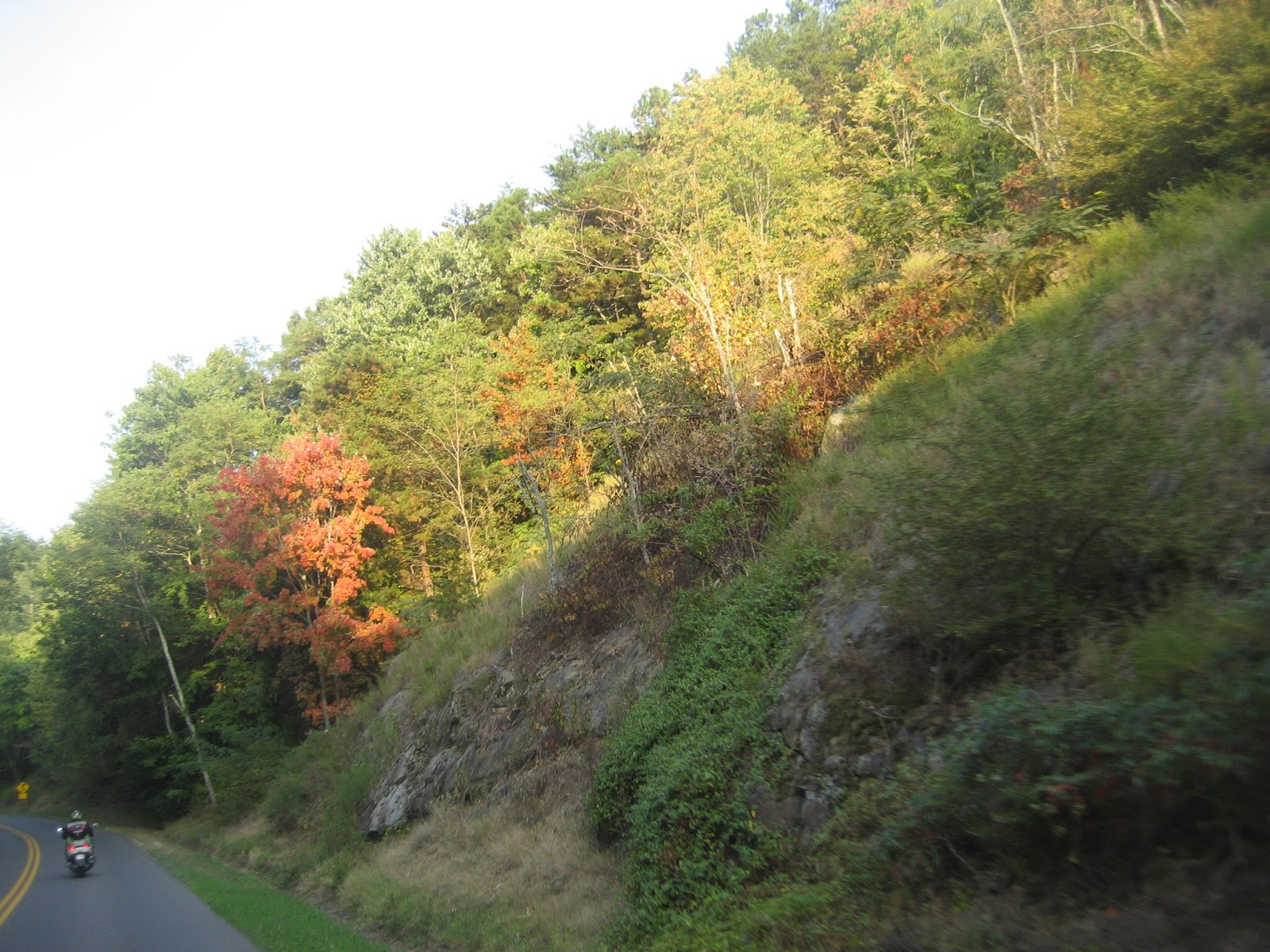
Didn't go through Gatlinburg, too slow, so we took the by-pass and I caught sight of this tree, first one I've seen so far fully turning in color.
Riding through the National Park we came across some more trees changing color. I just love the Fall with the multi-colors all around you. Not to mention the cool mornings and days.
Farther toward the top of the mountain we came to one of several tunnels on this route. Summer is okay but in winter you have to be more careful as sometimes dripping water forms at the entrance on the highway in the form of ice.
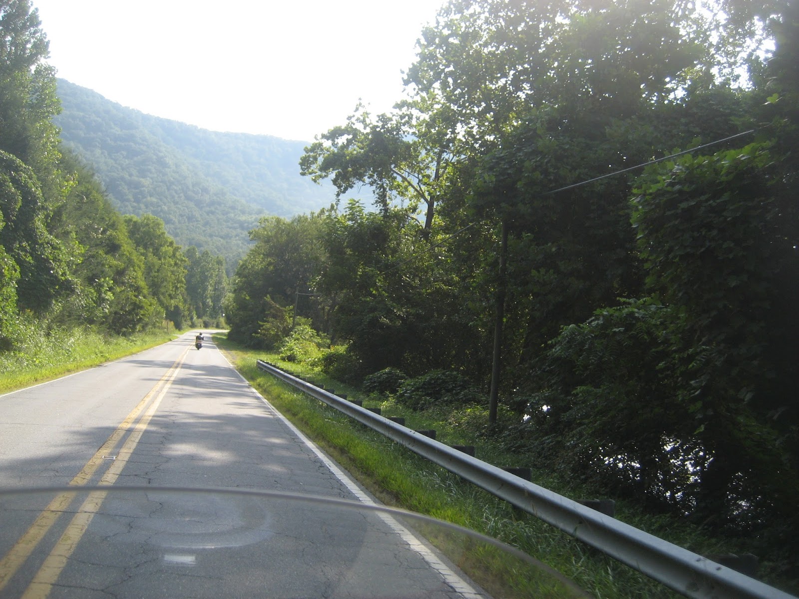
Just cutting it through the mountains. No traffic to speak of this early and we made one of the fastest trips over the mountain that I've ever made.
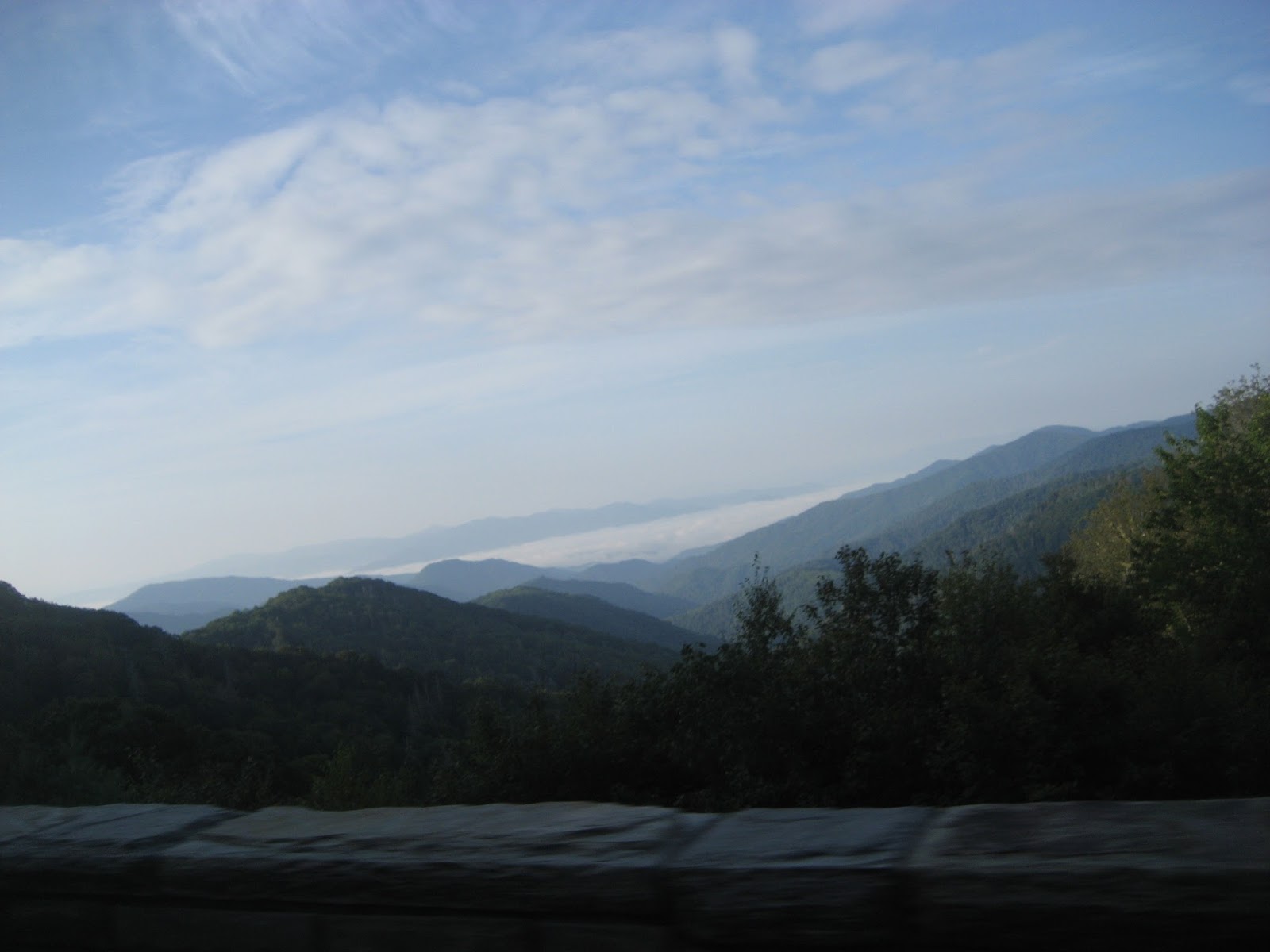
Who just cannot love this view. If you don't, please do me a favor and don't mention it. It could raise my hackles a tad. The mist was hanging in the valleys way off in the distance.
Beauty at its best, created by a higher power to be enjoyed by all.
Soon we were cresting the top of the mountain and riding down the NC side toward Cherokee, NC.
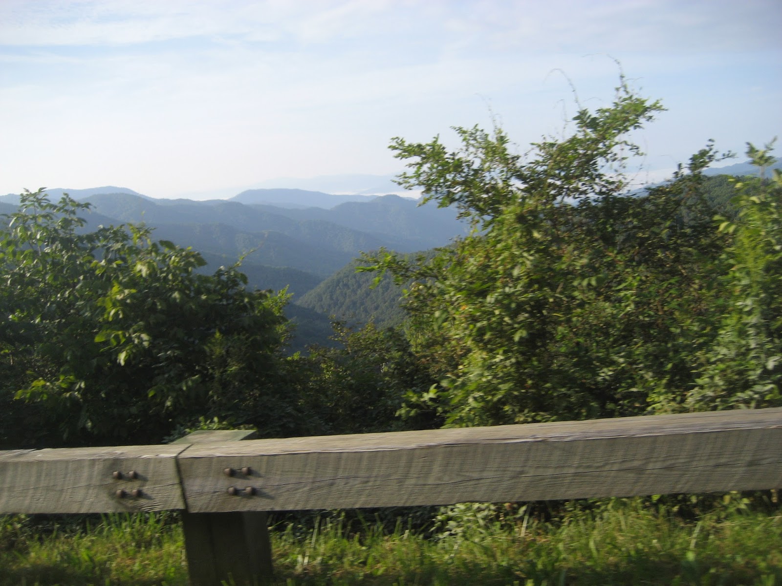
Looking at the mountains on the NC side. As the sun was rising higher it made taking some of the pictures too light, too much exposure. But still pretty.
Near the HQ of the Park on the NC side the clouds were hanging heavy in the mountain valleys. This is near the entrance to the Blue Ridge Parkway.
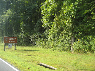
The entrance to the BRP is on the left.

Just past the entrance to the BRP was this interesting site, a small flock of vultures gathering alongside of the road. I'm wondering if this is some sort of omen we should consider before riding on. Then that decision left for we figured it was for some tourister that wasn't paying attention.

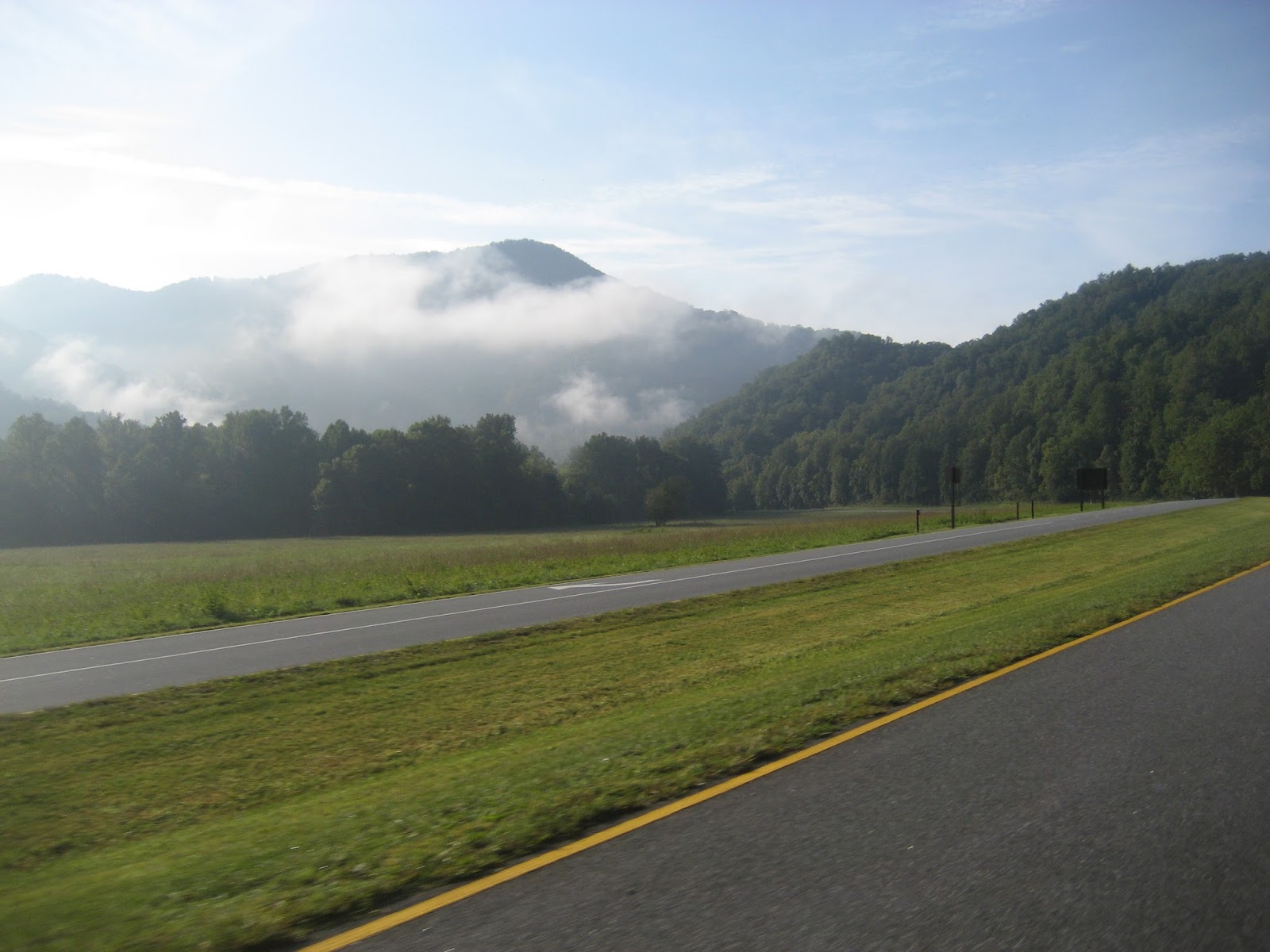
Those clouds or morning mist in the mountains just make the area look so serene.
This was one of my favorite shots of the day. Looks like they are smoking. Or maybe steam from hot springs.

Then onward at the edge of the Park and next town would be Cherokee,NC.
Didn't want to pass up the sweet aroma of the kudzu growing along the edge of the road, on the trees, across paths, over fences, climbing the power lines, etc. Looks like T-Rex on the right.
Entering Cherokee, NC from TN. Now for all of the Native American names, posters, businesses, etc. I love the big bears stationed around the town, all painted different colors with symbols of the various clans. And the names of business and streets bear both Cherokee and English language.
We by-passed the main part of the town and headed south on US 19 to meet up with US441 in a few miles. In between we also ran a couple of back roads and along the river.
NC grows a lot of Christmas Trees. I found this planting around a nice pond in front of a house to be a semi-circle of Christmas Trees. That bird in the photo was a hawk. I guess it was looking for breakfast or returning to its roost after breakfast.
Nice secluded place along one of the back roads.
I wouldn't suggest touching any fence in rural areas of TN or NC. Most of them look harmless but if touched will make you soil clean clothes. They are electrified to keep farm animals in. And to keep people out.
We grabbed a bit of US441 with was nice and wide. More mountains looming off in the distance.
Then we turned onto one of our back roads again. We either crossed this stream a dozen times or there's a dozen streams in this area. I was later informed it was the same stream, we just made multiple crossing. Not very deep here but running clean and fast.
In places it was pretty wide. Nice for tubing or floating on a kayak. I would like to try it on a pirogue. Now all those not from LA will have to ask what a "pirogue" is.
Back on a wide road again continuing to go eastward.
Now they talk about Montana as being the Big Sky Country, but tell me, what's wrong with this sky. Looks big enough for me and I've been to Montana.
Doing a little survey work along our route. I didn't stop to see if there were any questions he wanted to ask, I just kept riding and he just kept surveying.
We rode two major curvy roads today. I can't remember the number of one of them, the first one we rode, but the second one was the curviest I've ever been on for the distance we traveled. It was NC 215. Great surface and marked. Put a lot of sidewall wear on the tires today.
One of the few straight stretches. The river is on the right behind those trees.
And even on back roads they have construction zones. Here it looked as if they were re-sloping the mountain side to prevent rock falls.
Just hanging out on a sweeper. Those birds on the left by the bushes are guineas. They do a lot of chattering, are very good a hiding their nests but you never hear of anyone eating them like chicken.
Wolf Creek area, lots of roadwork on this side to shore up the dam that's holding water on the other side. If it ever lets go, whooosh and all is gone below.
Nice shot into the morning sun at a set of elongated S curves.
Now it's more back to normal. Hills and valleys, crossing mountains, and riding through valleys again to come to more hills. But it's fun.
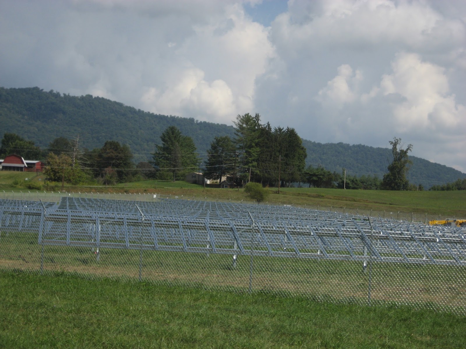
We passed by a small community and this construction along the side of the highway is the beginnings of a solar farm. All of these frames will contain solar panels. There's enough clouds in the sky today to prevent 100% generation.
From a distance you can make out a cemetery scattered along that hill. Another place that needs fencing. People just die to get in there. I know, corny.
And speaking of fencing, here's a typical Appalachian split rail fence. Looks pretty but wouldn't slow down a dump truck very much.
And besides split rail fences we have here some bonafide state issued guard rails that have probably been scraped a time or two. Just zinging along and hanging out in the curves. Any time the knees are in the breeze it's a good ride.
We pulled of NC 215 onto the Blue Ride Parkway to take a rest break. Here's the view looking eastward.
Here's the view looking southward. The east view is much better. Paul with his White Rat in front, Bob and his silver Spyder and wearing his red cap is Alvin on a silver HD. That picture really worked on my lens.
Another view from the stretch break area.
We were pulled into Courthouse Valley Overlook, El. 5365 ft. above sea level.
Three of the four bikes on today's ride.
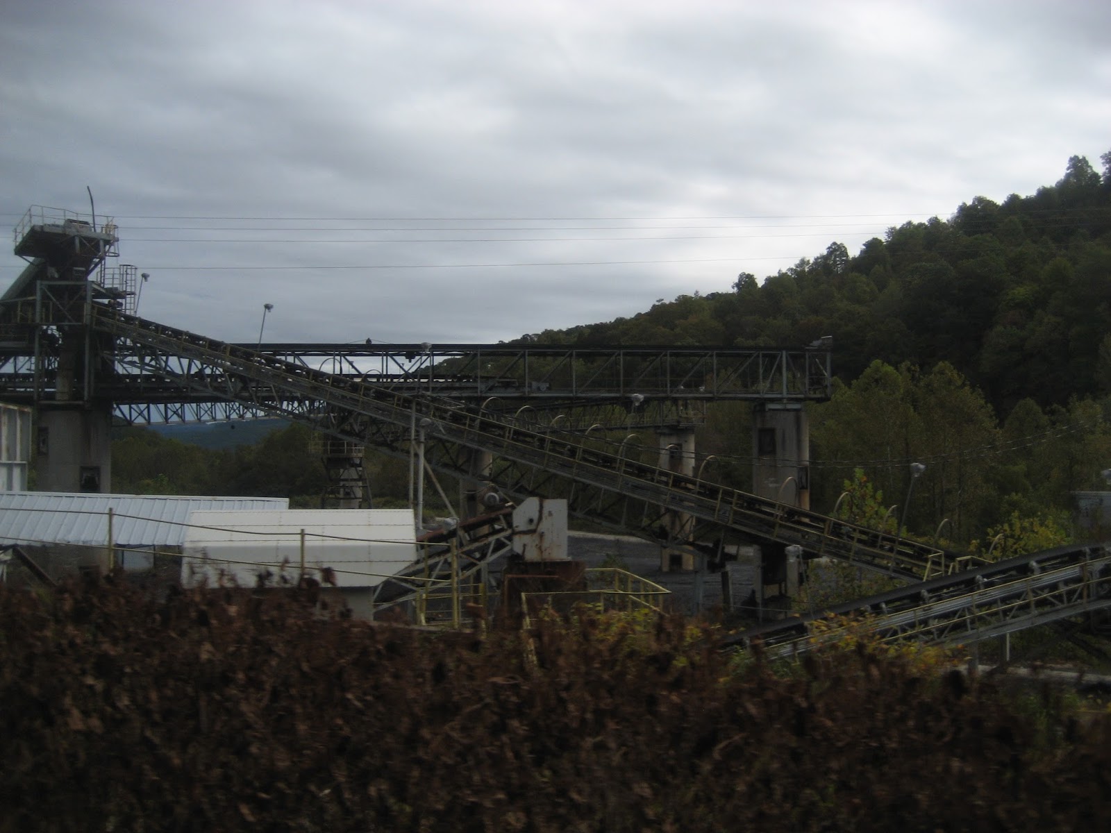
It was getting close to lunch time and we reached our destination of Canton, NC. You could smell it a long way off coming from our direction. Right down town is a large pulp mill.
We stopped at Ingle's Food Store to eat at their deli. Good fried chicken with two sides for $6. And Paul can't pass up his Apple Fritters. Two friends not seen in two years were meeting us there. They had just completed a 3 month large loop ride on a motorcycle. A great experience. After lunch, Alvin and Bob departed for their homes as Bob had some construction work going on there and he didn't want to be gone from it too long.
Paul and I pulled out running some back roads toward I-40. Alvin asked Paul if their route was going to take them in the direction of that black cloud. I answered for Paul, yes as he never evades it just runs on through it.
I kept looking at that cloud and just knew that we were going to get wet today.
But a turn here and a turn there and that dark cloud was no where in sight.
But every once in a turn it would show back up again. Just enough to keep you guessing.
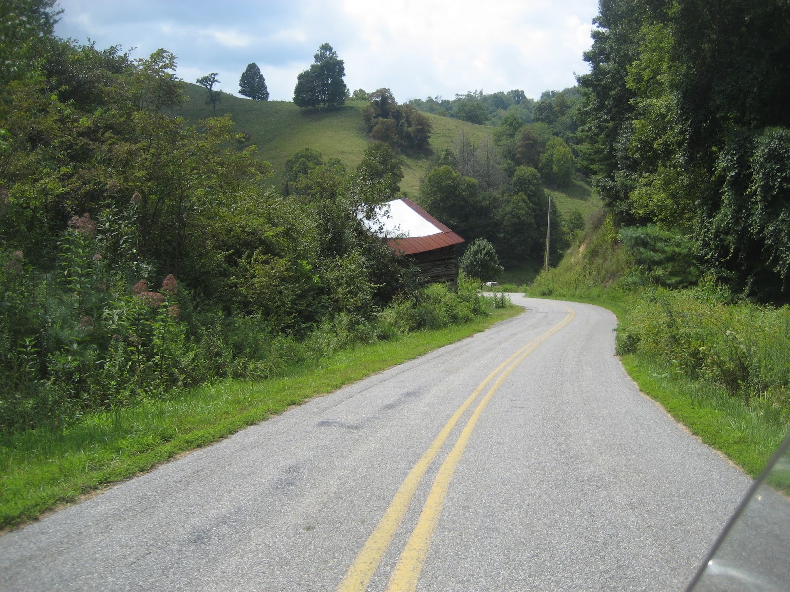
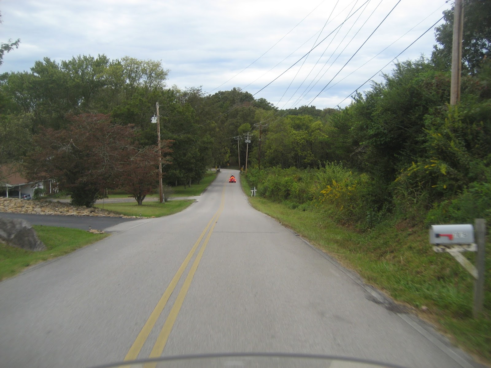
This little road was very nice and very quiet. It just rambled through the valley around farm buildings and houses and occasionally near a small stream.
But that cloud seemed to be on the same path we were heading. We'd turn, it would still be there.
That coned peak in the background looked almost as if it was man-made as most of the mountains are rounded on top. But no, it is truly a natural.
I just can't pass up a picture of an old barn. Some of them look better than some of the farm houses that were nearby.
Across the highway from that old barn was a pasture with cows that had a white stripe around the middle of their body. I think they are some breed of Scottish Highland cattle.
Mountains in the distance along with that hovering black cloud.
Some Fall colors peaking out here and there. Won't be long now.
By this time we had hit I-40 to make a good run back to Newport, TN. This stretch of interstate crossing from TN to NC runs through the mountain valleys and ever so often through the mountain itself.
Tunnel through the mountain. And it is a continuous curve tunnel, no straight sections.
Some more scatterings of Fall colors.
This particular stretch of highway is well known for having rock slides. About every two years or so it will close the Interstate down or at least two lanes of it so that it can be cleared.
Back in Tennessee.
This was a grand day. Good friends, a new friend among them and some great weather all coming together for a fun time.

All in all, it was 236 miles for me door to door. Lots of curves, pretty sights and great roads. Fun times are hard to forget. And this one won't be forgotten anytime soon. So until the next Valkyrie Adventure, thank God for what you have, thank your friends for being so, and learn to appreciate what you have. Look around, some don't even come close to having what you have. Life is short, use it wisely.


 For my FB friends, I will be sending you some of the Kudzu on the left and some of that yellow stuff on the fence row on the right for Christmas presents. You ask why?


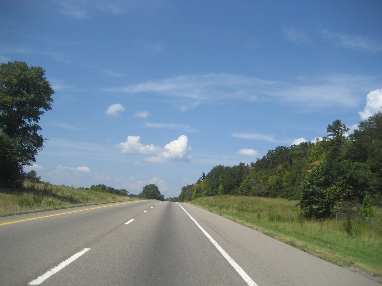
 The highway and scenery are forever changing as you ride the miles.


 No noise except the birds and the wind. No movement except the brush and trees in the wind. No money except what is expended through welfare, and a bleak future for it is miles to the next town and then there's not much there either. An ever changing industry in an ever changing society.


 A pretty farm house with a nice distance from the highway.
 Some sit right below the side of the roadway. This one is far enough away that it would probably not get damaged. Some would have a vehicle in the living or bedroom.
 The color of this house reminds me of a Dreamcycle, Pinkish Orange ice cream on a stick. Maybe they are University of TN fans.